Elevating Out-of-Home Strategy Through Location Intelligence with CARTO
80% visualizations
Easily created
20% faster data ingestion
Faster workflows
87% of client presentations
Data visualized
Challenge
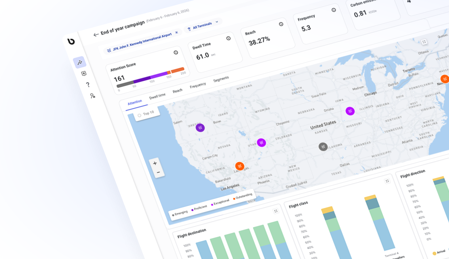
As audiences became increasingly dynamic and global campaign demands expanded, we saw an opportunity to enhance how we visualize audience movement, analyze performance, and communicate value to clients.
We set out to:
- Empower our media teams to explore and analyze spatial data independently.
- Streamline data workflows, replacing manual processes with automation and integration.
- Bring storytelling to life through intuitive, real-time visualizations.
- Scale globally with a unified platform that could support campaign planning, measurement, and reporting across markets.
Solution
How We Leverage CARTO’s Location Intelligence
Productivity & Scale
- Empowered 80+ media professionals worldwide to independently create and edit maps visualizations.
- Freed our core analytics team to focus on advanced modeling and innovation rather than manual map production.
- Delivered consistent, client-trusted visuals that reinforce our commitment to accuracy, speed, and storytelling.

Operational Efficiency
- Automated data ingestion and geospatial setup, reducing manual work by ~20%.
- Seamlessly integrated with our existing cloud tech stack for streamlined collaboration across teams.
- Enabled rapid adoption — media team members became proficient within hours, driving standardization and confidence.
Client Impact & Growth
- Enhanced campaign planning precision with real-time audience mobility insights.
- Supported upselling and multi-tiered planning through visually compelling scenario modeling.
- Strengthened client relationships through transparency and visual storytelling — with CARTO-powered insights now a recognized billups differentiator.
Results
Together with CARTO, we’ve achieved meaningful results that demonstrate the power of location intelligence in out-of-home strategy.
- 18 countries: Enabled global growth across North America, EMEA, and APAC with scalable mapping and visualization capabilities.
- 87% of client-facing presentations now include CARTO-powered visualizations — driving transparency, engagement, and confidence in campaign performance.
- 80% of visualizations are created directly by our media teams — freeing data analysts to focus on deeper insights and strategic innovation.
- 20% reduction in data ingestion time, resulting in measurable productivity gains.
- Improved upsell performance across 12 countries through more data-driven storytelling.
What this means for our clients
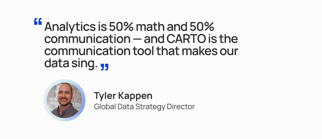
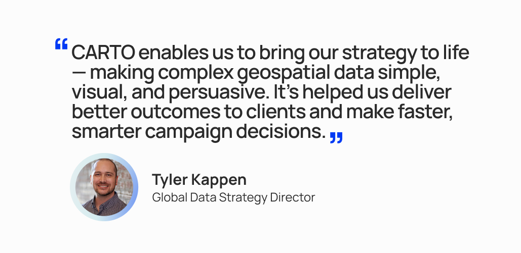
By integrating CARTO’s cloud-native spatial analysis platform across our global operations, we’ve centralized spatial analytics and made complex data actionable. With intuitive, scalable analytics and mapping capabilities, our teams quickly translate data into strategy — enabling smarter decisions, faster turnarounds, and richer storytelling across every campaign.
Key Enablers:
- Self-Service Spatial Intelligence: Media teams independently build custom visualizations without GIS expertise.
- Automated Data Interpretation: Intelligent data recognition reduces setup time and errors.
- Multi-Layer Geospatial Storytelling: Dynamic layers and visual cues make spatial strategies clear and compelling.
- Real-Time Mobility Integration: Audience movement data aligns campaign planning with actual human patterns.
- Global-Ready Architecture: A consistent, scalable framework for all markets, ensuring brand-standard reporting and visual continuity.
The Outcome
By combining our expertise in out-of-home strategy with CARTO’s location intelligence, billups continues to redefine how brands see — and succeed in — the physical world.